Vertical Life
March 2019
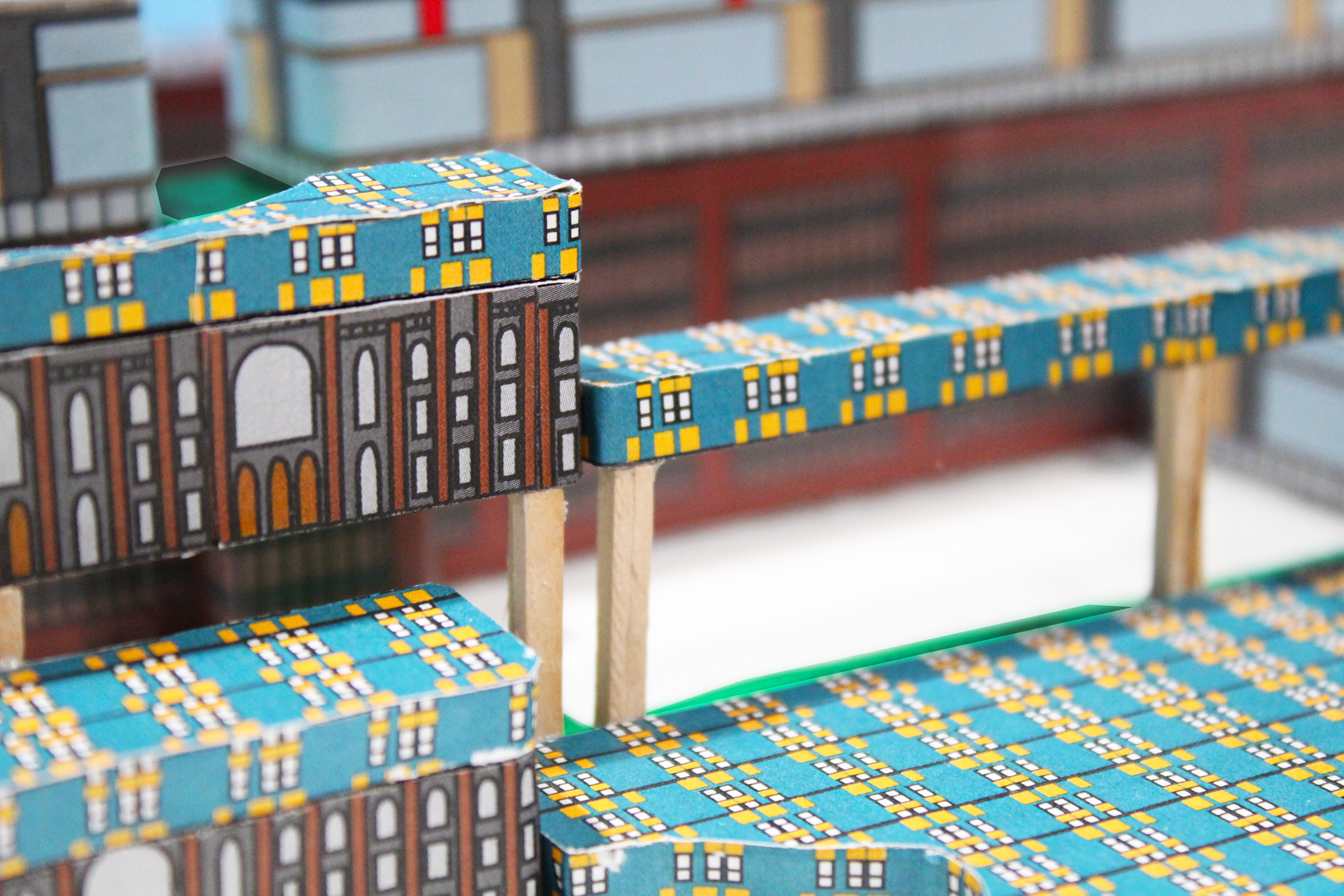
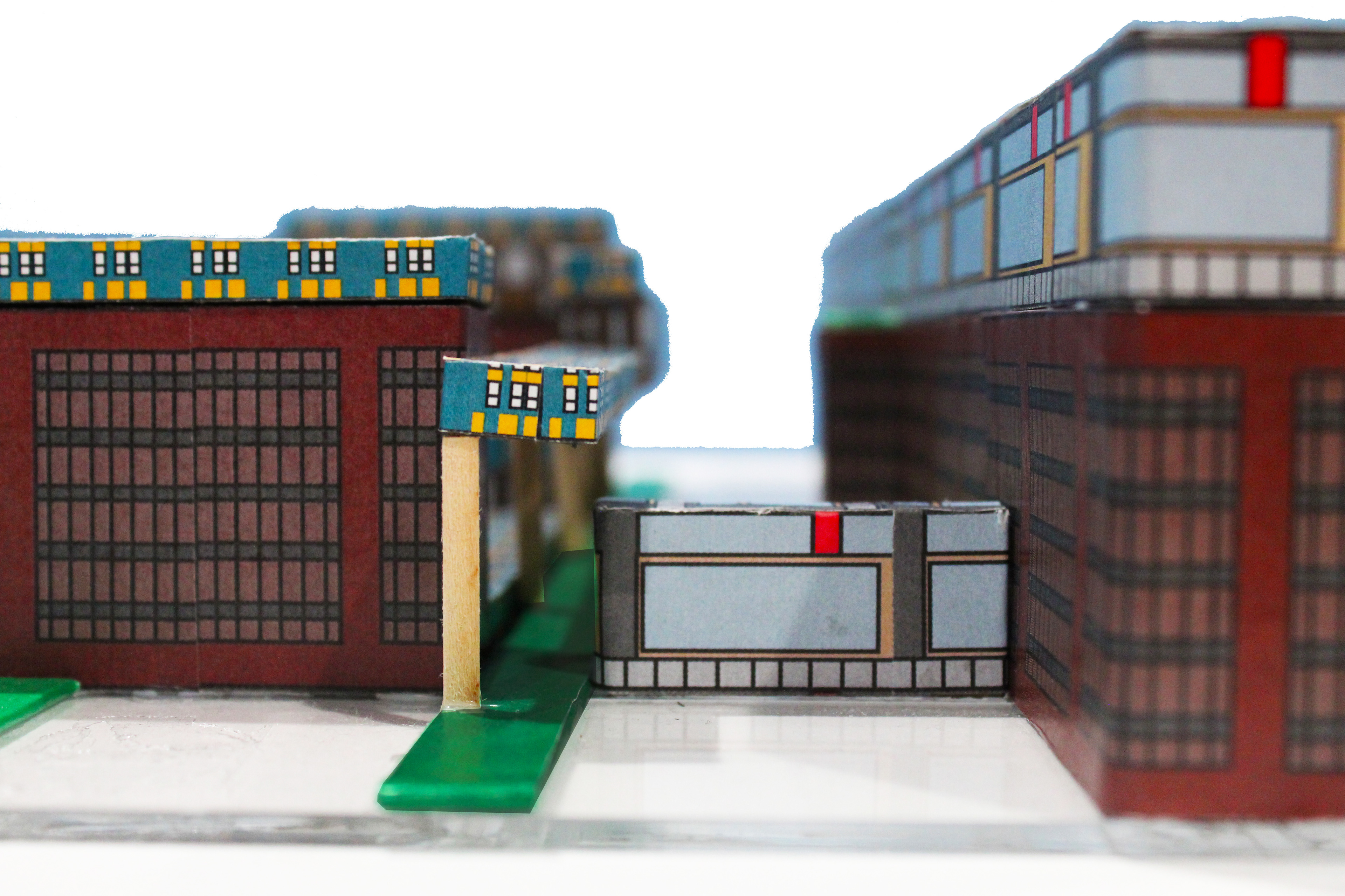
chipboard, paper, acrylic
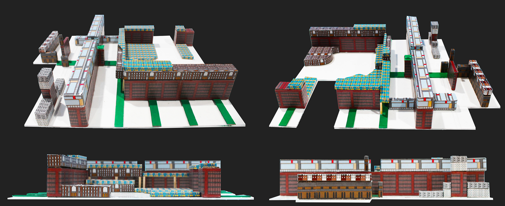
This 1:1500 analysis model of East Harlem from 121st Street to 128th Street and Lenox Avenue to Madison Avenue focuses on structures with unique architectures and their corresponding “visibility plots”: the maps of walkable areas from which each structure is visible. These visibility plots are extruded to the height of the buildings and layered atop each other from tallest to shortest, creating a reimagined model of the city.